Denver, CO 2005 Introduction
Hello and welcome to another installment of James and Julie travel the world. In this episode, our hosts went to Denver, Colorado to visit Eric Biga (see Hawaii trip). Our trip began on Saturday, October 22nd and we flew home on Wednesday, October 26th. Eric was going to fly back with us, but some changes at his place of work meant he had to wait for some time off. We look forward to him making his trip to visit us.
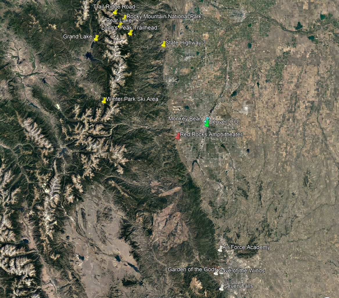
This trip was when James discovered Google Earth so the original version of this site had links to download KMZ files to view those spots. James has incorporated those saved images into the other images in this version.
Saturday, 10/22/2005 – First day in Denver
We rose early on Saturday morning October 22nd so we could make our final preparations and catch a cab to the airport for our 8:30 am flight. Everything went fairly well on our flight and we landed in Denver about 20 minutes early. Once we gathered our luggage we met Eric at the passenger pick-up (one level down from the baggage claim) and headed out. It was a little hazy so the mountains weren't as clear as possible, but there were still some trees with beautiful color in the lowlands on the front range (image 1).
After dropping our stuff off at Eric's loft (about 5 blocks from Coors Field), we then headed into the downtown area for lunch. The temperatures were in the low 60's so we sat outside and enjoyed some free entertainment. We were near the campus complex for University of Colorado at Denver, Metropolitan State College, and Community College of Denver. We watched the "Annual Gorilla Run" which is a fund raiser to support the Mountain Gorilla Research Foundation. Each participant received a gorilla suit to wear and doctor up as they saw fit. Unfortunately, we didn't have the camera with us. After lunch, we walked along the river downtown and then caught the free Mall-Ride bus from Union Station up the 16th Street Mall to the Government Center. We stood on the mile high step in front of the State Capital Building off to the side of some religious activists in the common area between the capital and City Hall. We then returned to the 16th Street Mall to browse in some of the shops as we walked back to where we had parked.
After a quick stop at Eric's loft, we wanted to get the camera and a couple other items, we headed out again. We went to City Park to see the view of downtown Denver with the mountains in the background (image 2). It was a little hazy so the mountains weren't as clear as we would have liked. City Park is large area of open space for public use that also houses the Denver Zoo and the Science Center (image 3). We decided not to stay and go through the Science Center since it was only open for another hour and a half; so, we loaded back in the car and headed Southwest of town to see the Red Rocks Amphitheater. On the way, we drove by the Denver Convention Center (image 4) and the Pepsi Center, now Ball Arena, where the Colorado Avalanche play hockey (image 5).
Red Rocks is a formation of rocks sticking up out of the foothills of the Rocky Mountains. The amphitheater (image 6) is located between two spurs of this formation (images 7-8). Eric stated that concerts there are a unique experience because they can project images on the formations to either side of the seating and, if the weather is clear, you see all the stars above you and the stage. We stopped at a little parking area just before the main parking for the amphitheater because the rocks had been hollowed out and offered another good photo opportunity (images 9-10). There was a warning sign about climbing on the rocks (image 11). We wondered how they arrived at the fine amount. We then headed into another area of the park to get some pictures of the sides of the amphitheater (image 12) from a distance as well as some other unique rock formations (image 13).
As the sun set we headed over to Golden, CO (image 14) to have a peaceful dinner before heading back into Denver. We downloaded the pictures and reviewed them before watching some TV (hockey) and going to bed.
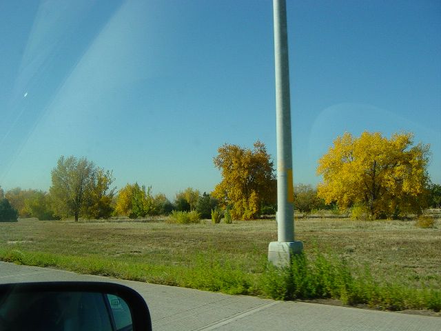
Trees with fall colors from car window (image 1)
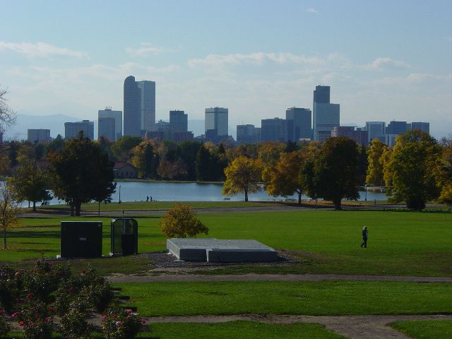
Downtown Denver from City Park with clouds and mountains beyond (image 2)
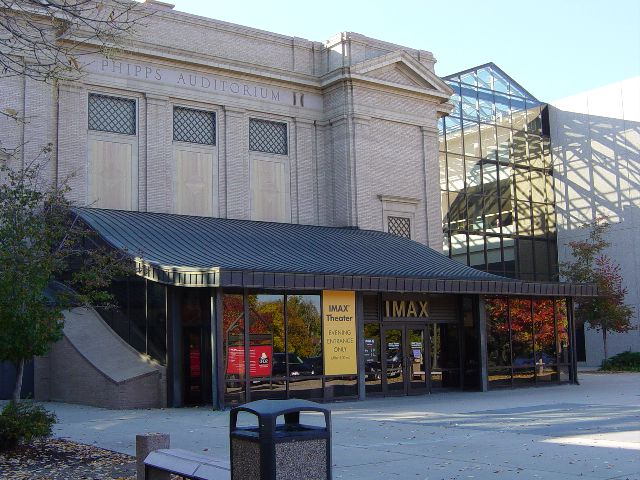
Denver Science Center (image 3)
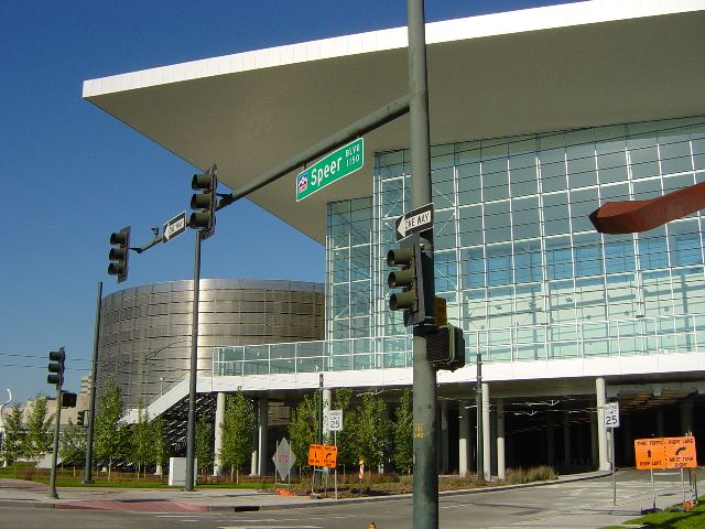
Denver Convention Center (image 4)
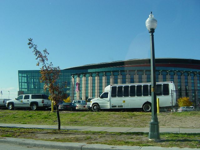
Pepsi Center (Ball Arena) home of the Colorado Avalanche (image 5)
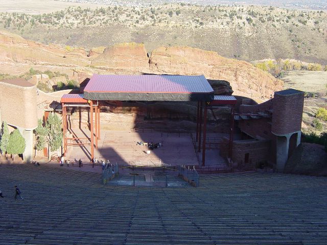
Red Rocks Amphitheater stage from atop the seating area (image 6)
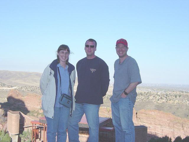
Julie, Eric, and James at Red Rocks Amphitheater (image 7)
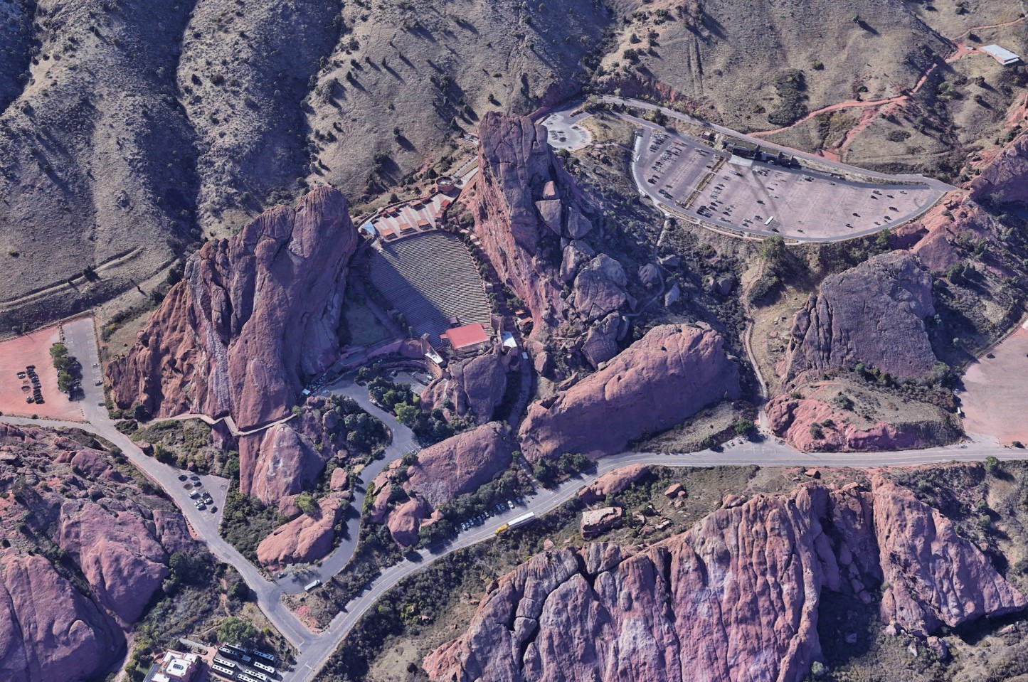
Google Earth image of Red Rocks Amphitheater (image 8)
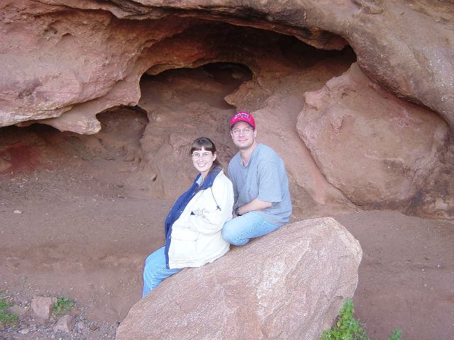
James and Julie posing for photo in hollowed rock formation (image 9)
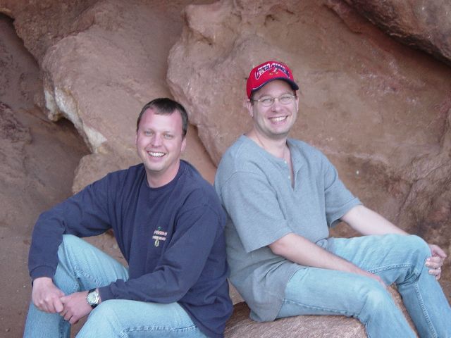
James and Eric (image 10)
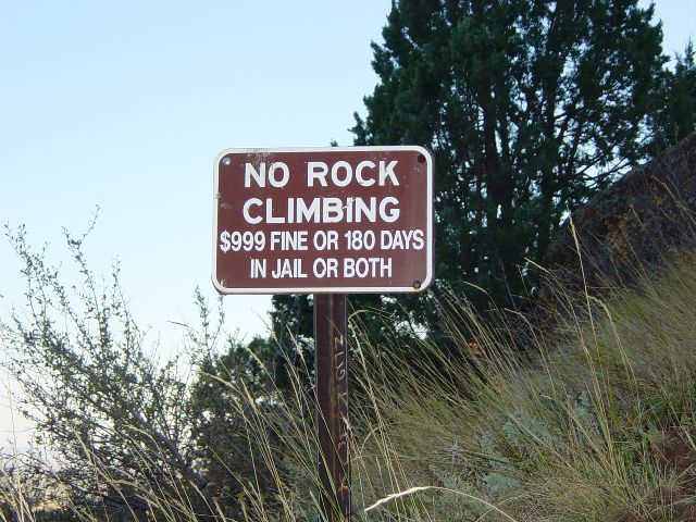
Sign warning of dangers of climbing on rocks (image 11)

Panoramic view new Red Rocks Amphitheater (image 12)
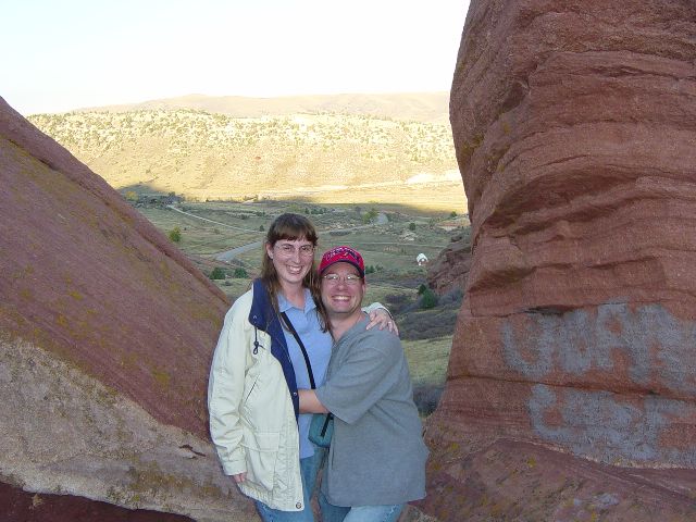
Julie and James in rock formation (image 13)
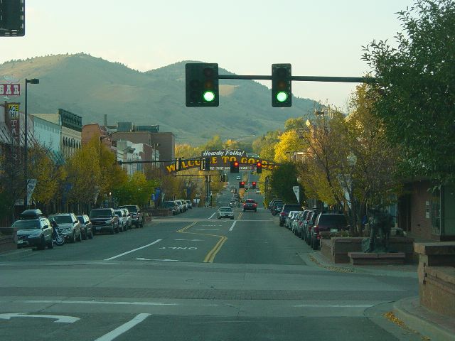
Sunsetting on street in Golden, CO (image 14)
Previous Next
Sunday, 10/23/2005 – A drive through the mountains
We slept well in the cooler (34 degrees when we got up) mountain environment and woke around 7a (and got out of bed at 7:30a) to get ready for a day in the mountains. The weather was a little cloudy, but the forecast was for the clouds to move out mid morning for a beautiful sunny afternoon. We were heading up to Rocky Mountain National Park for some time in the high country.
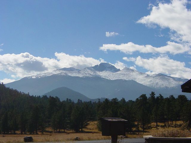
We headed North on I-25 and exited onto Highway 36 towards Boulder. It was quite interesting the way the clouds settled around the mountains (image 1). The trees here were also in bright color and really stood out against the grey skies (image 2). We turned off Highway 36 onto Highway 7. This was the less direct route to Estes Park, where we'd enter the national park, but it was the more scenic as it passed through several canyons and offered wonderful vistas of the mountains in the distance (image 3). As we approached the trailhead to climb to the top of Long's Peak (highest peak in the area), the sun came out with clear blue skies and some beautiful picture opportunities (image 4). We pulled off the road and drove to the ranger station at the trailhead. The elevation was posted on a sign (image 5). We talked to a volunteer ranger who seemed happy to have someone to talk to. We took a couple more pictures form the parking lot before continuing our journey (image 6). We continued along Highway 7 into Estes Park where we stopped for an early lunch and took a picture of the Stanley Hotel (image 7).
We then headed into Rocky Mountain National Park (image 8). After a quick stop at the visitor's center to pick-up some postcards and a magnet, we drove to Bear Lake (image 9) where we took a short hike around the lake (image 10). It was very beautiful (image 11) and if not for the other tourists, would have been very peaceful. It was a bit chilly here with the temps in the mid 40's. We then headed back into the park and towards Trail Ridge Road (image 12) which would take us above the tree line.
We were keeping a sharp eye out for wildlife; we were visiting during the elk mating season and they were supposed to be in abundance in the park. We caught passing glimpses of some elk but we weren't in a place where we could stop the car so Eric kept driving. The first spot we saw an animal and could pull off to the side was actually for a wolf that was wandering through an open area of the park (image 13). We then headed a little higher into the mountains and got some awe inspiring shots of the mountains. Somewhere in this drive, James figured out how to eliminate the problem of glare on the windows when taking pictures from the car. Since it was such a lovely day, we had the sun-roof open on Eric's car and James would stick the camera out of it to take his snapshots (image 14). The sun roof then became known as the picture hole for the rest of our visit. At a viewing area at Many Parks Curve (image 15) near the tree line we saw a bird with some interesting coloring. It had a black head and blue body (image 16). We all tried several times to get a picture of it as it kept returning to where we were to get popcorn someone else had dropped.
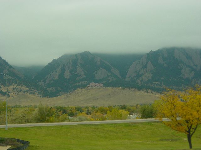
Clouds covering the mountain tops heading out of Denver (image 1)
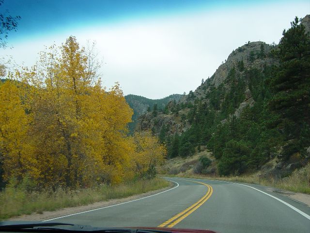
Yellow leaves on trees along the roadway (image 2)
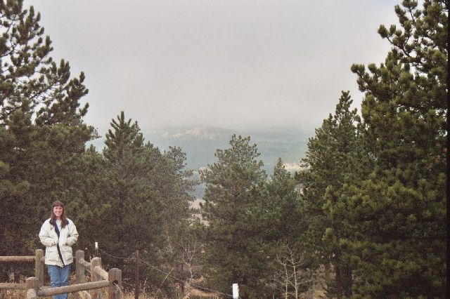
Julie at a scenic overlook (image 3)
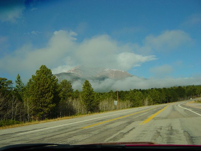
Clouds breaking up allowing view of mountain peaks (image 4)
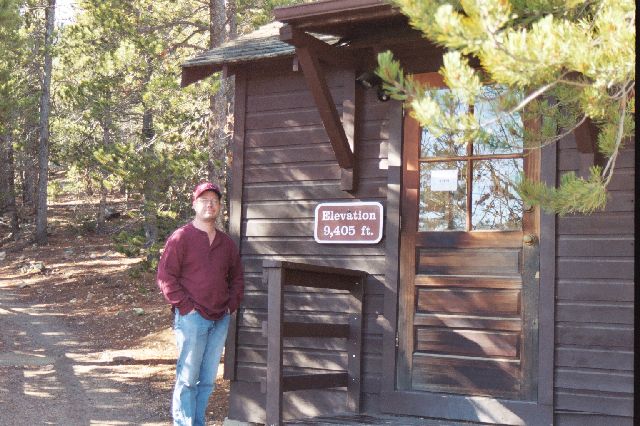
James at a ranger station with elevation sign (image 5)
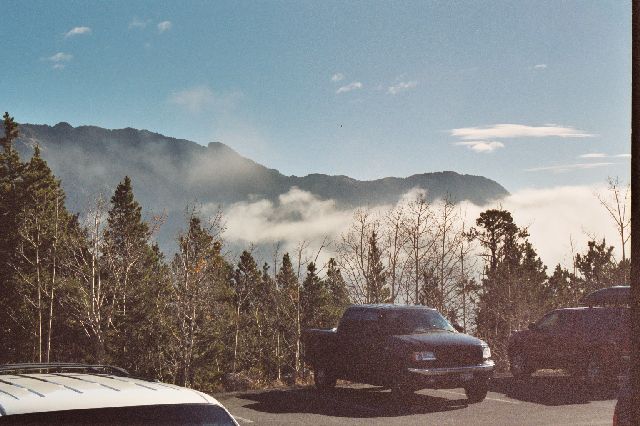
Up in the clouds from an overlook parking lot (image 6)
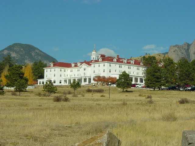
The Stanley Hotel in Estes Park (image 7)
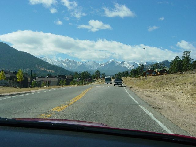
Heading into Rocky Mountain National Park from the east (image 8)
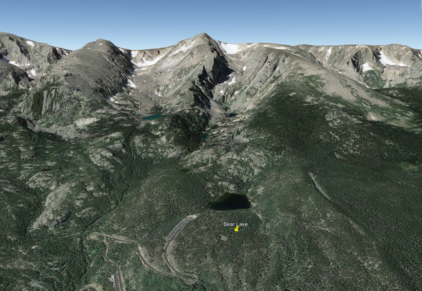
Google Earth image of Bear Lake (image 9)
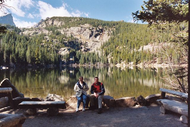
Julie and Eric at Bear Lake (image 10)
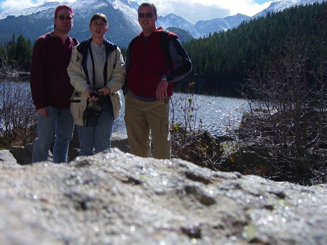
James, Julie, and Eric at Bear Lake (image 11)
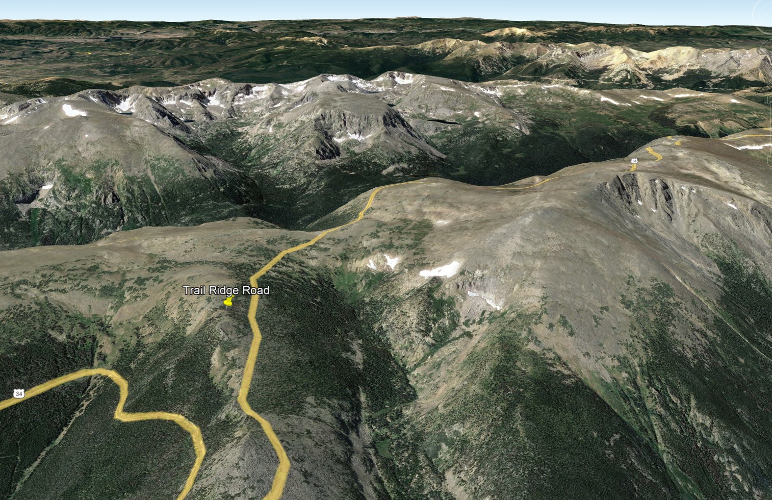
Google Earth image of Trail Ridge Road (image 12)
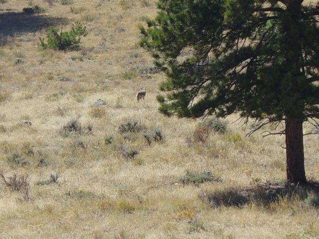
Wolf crossing grassy meadow (image 13)
Snapshot of mountains taken out of sunroof of car (image 14)

Panoramic image of mountains at Many Parks Curve Overlook (image 15)
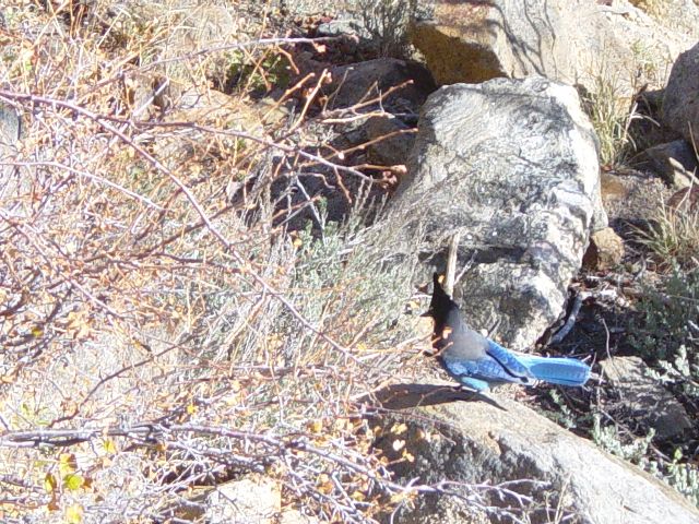
Blue bodied bird with black neck and head (image 16)
Previous Next
As we had walked around Bear Lake, we had seen some patches of snow in the cool shadowy places. As we continued higher, it became much more prevalent (image 17). We stopped at another overlook at Rainbow Curve (image 18) which was just above the tree line where we could look back into the "Hidden Valley" at the road we had driven. The ground rodent population was very active here (image 19). We were still climbing in altitude and continued into the "Mountain Tundra" area which is very arid. There was a look-out here that allowed us to get a wide sweeping view of "Forest Canyon" (image 20) and the mountains that surrounded it.
We soon passed over the highest point of the road and started to drop back down on the "Back Range" of the Rockies (image 21). The road we were on actually closes for much of the winter season and we were lucky it had not done so yet this year. However, in preparation, all of the facility stops along it had been boarded up to protect them from the harsh cold and snowfall. We cruised back down below tree-line until we were able to find an open set of restrooms. It so happened that they were just past a calm mountain pond (image 22). There was also a marker indicating the continental divide (image 23).
As we continued down the other side of the mountains, we saw new vistas of the Rockies and were having a very pleasant ride until we noticed a car stopped off to the side of the oncoming traffic and a man with a camera pointed into the woods. There was a small pull-off where we could move Eric's car out of the drive lane so we decided to stop and investigate. There was a small group of Elk in the woods; some above and some below the roadway (image 24). We took lots of pictures; most of which were of the lighter colored markings of the Elk that allow them to see each other in the woods. After deciding that we had enough pictures of the Elk, we continued down the mountains to Grand Lake (image 25). There is a grouping of 3 large lakes (image 26) in the mountains that drain naturally to the Pacific Ocean; but, a tunnel was made and connected to a pump house that feeds some of the area on the Atlantic watershed side of the mountains that do not get very much rain.
We next drove through some of the high country valleys and into the Winter Park Ski Area (image 27) to check on the snow fall there. There wasn't a lot of snow on the lower slopes yet and the resort was still making preparations for the coming season. We then headed back up Highway 40 over Berthoud Pass (image 28). We stopped again to see the Continental Divide as well as other informational signage (image 29).
As dusk settled (image 30), we headed back into Denver for dinner and then some cards before turning in for the night.
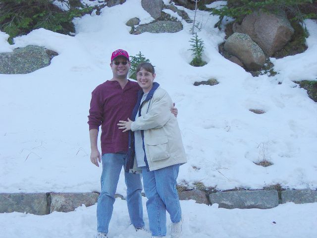
James and Julie in the snow (image 17)

Panoramic image from Rainbow Curve Overlook (image 18)
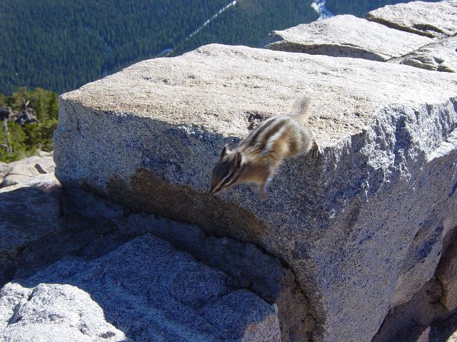
Ground squirrel running on the rocks (image 19)

Panoramic image from Forest Canyon Overlook (image 20)
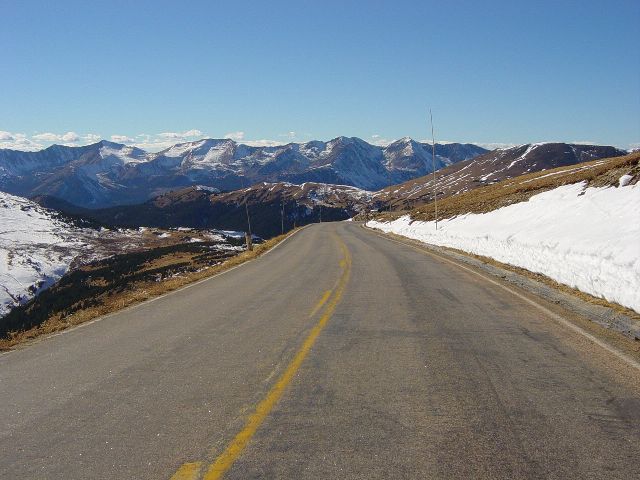
Descending to the western side of Rocky Mountain National Park (image 21)
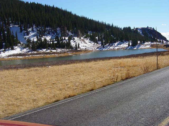
A calm pond just below the trees still protecting snow (image 22)
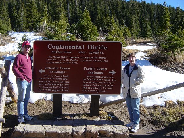
The sign marking the continental divide (image 23)

An elk standing in the trees (image 24)
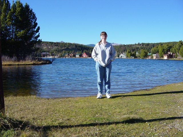
Julie standing at the edge of Grand Lake (image 25)
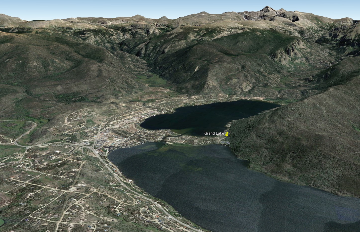
Google Earth image of Grand Lake and surrounding topography (image 26)
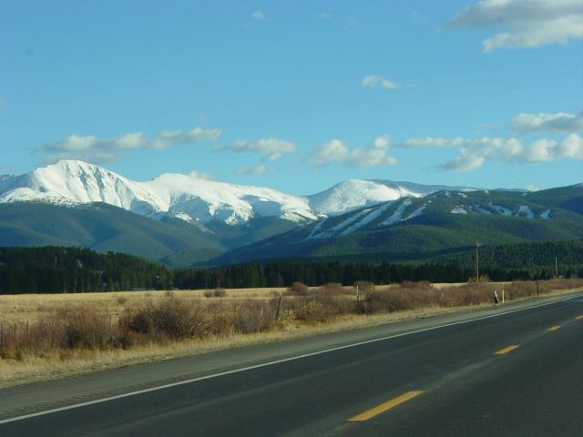
Some of the Winter Park ski resort trails (image 27)
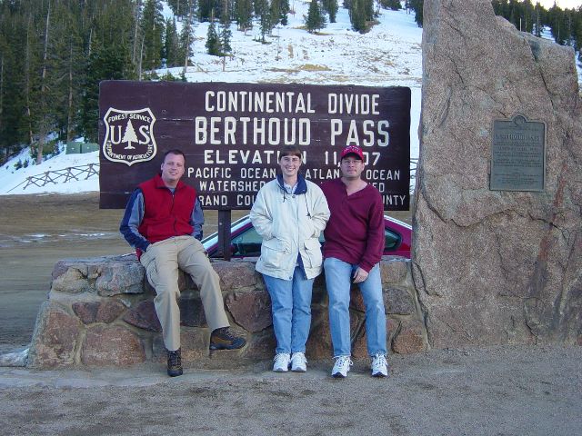
Eric, Julie, and James at the Berthoud Pass Continental Divide sign (image 28)
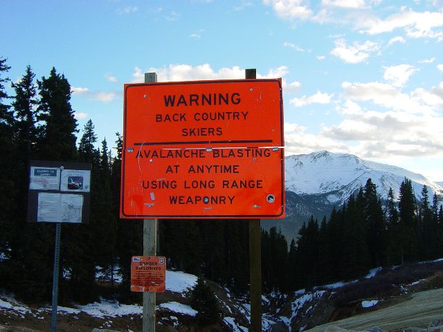
Warning sign in Berthoud Pass parking area (image 29)
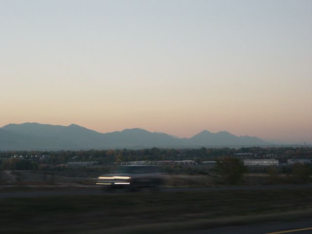
Sun setting behind the mountains (image 30)
Previous Next
Monday, 10/24/2005 – South to Colorado Springs
Having spent much of Sunday in the clean mountain air high in the Rockies, we slept in on Monday and didn't get started on the day's adventure until about 9:30a. When we finally got up and on our way, we grabbed a bite to eat in the car and headed South towards Colorado Springs.
As we got closer, we could see Pike's Peak looming above the other peaks in the area (image 1). Eric refused to let James use the picture hole while we were driving down the interstate because of the higher speeds. (You'd think the guy was a safety director for a transportation company or something.) Our first stop of the day was on James' request at the Air Force Academy (image 2) to see the Cadet Chapel (image 3). It is one of the buildings he learned about in Architectural History (yes, he was awake some of the time) and it has a very memorable form. It holds 3 distinct chapels for the Catholic, Jewish, and Protestant faiths as well as two rooms that can be used by other beliefs for worship (images 4-5). The design is in high contrast to the other buildings on the campus (image 6). We then continued into Colorado Springs looking for quality tourist spots while trying to avoid the more hokey tourist traps.
We headed first to Cave of the Winds which was suggested by one of Eric's coworkers. We were a little concerned by the entrance accommodations and visitor's center. Eric mentioned that the particular employee's annual review had not been completed and might be subject to how the tour went. We arrived shortly after noon and had a while to look around at the valley below before our 1p tour (image 7). They took pictures of each group on the tour "to sell you later and so we have a picture for the police if you get lost in the caves" (image 8). There were many interesting formations including ceiling flowers, hanging grass, stalagmites, and the occasional naturally occurring electrical fixture (images 9-10). There was also a very tall room with what appeared to be a footprint in the ceiling (image 11). The cave was originally discovered by two boys and then further explored by a man who first opened it to tours in the late 1800's. They still operate lantern only tours in the summer to show what the original tours would have been like. They no longer use the original entrance because of the danger accessing the rooms (image 12). The tour was very good and Eric said his coworker's review was not in danger from the recommendation.
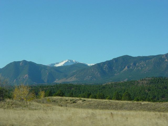
View of Pike's Peak from the interstate heading south into Colorado Springs (image 1)
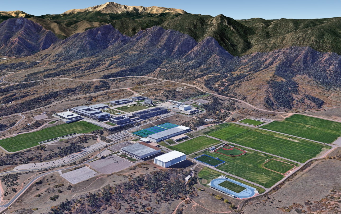
Google Earth view of the Air Force Academy (image 2)
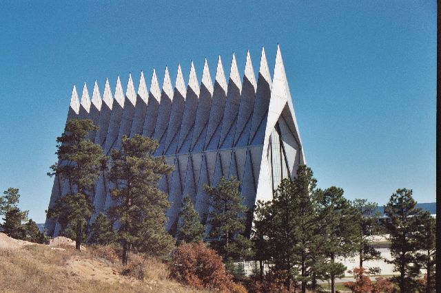
Exterior of Cadet Chapel at the Air Force Academy (image 3)
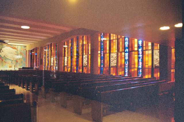
Catholic Chapel inside the Cadet Chapel (image 4)
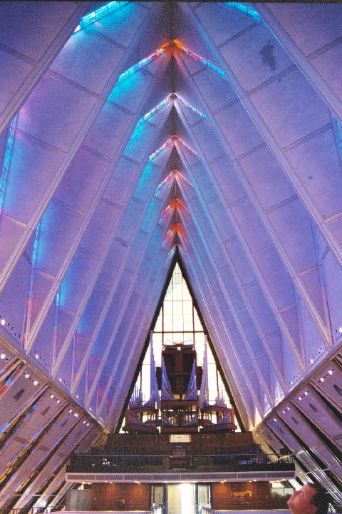
Protestant Chapel inside the Cadet Chapel (image 5)
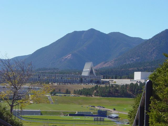
Cadet Chapel in context of other building on campus (image 6)
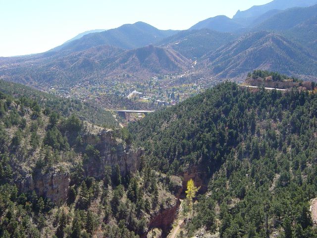
Valley near Cave of the Winds (image 7)
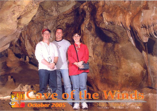
James, Eric, and Julie at Cave of the Winds (image 8)
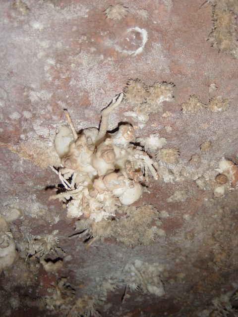
Ceiling flowers formation (image 9)
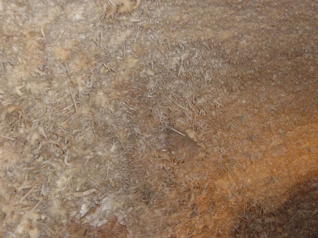
Hanging grass formation (image 10)
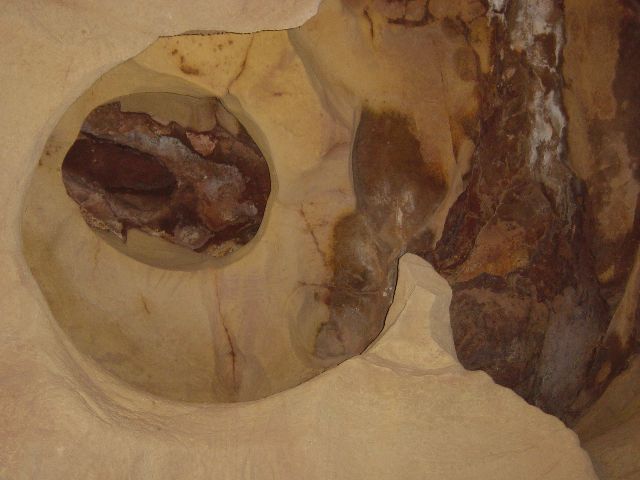
Footprint indentations - to right of larger opening (image 11)
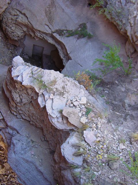
Cave of the Winds original entrance (image 12)
Previous Next
After the tour, we had a quick lunch and then headed over to Seven Falls (image 13). This was a little cheesier, but there were nice views of the canyon (image 14) and lots of steps. You could take an elevator up to one of the over look platforms, but to get to the top of the falls, you had to climb stairs (image 15). Julie, knowing her limits, decided to wait on the first platform (image 16) and take pictures as James and Eric climbed the stairs along the falls. There are a couple of landings to stop and catch your breath (image 17), but the sign still says it is over 200 steps to the top. When you get to the top, there is a path that winds around in the woods, but the guys didn't follow it very far (image 18). Going down was easier than going up, but James did complain that this was the only time the altitude had affected him very much (image 19). We did find a sign describing the bird we tried so hard to get pictures of in the mountains on Sunday (image 20).
After James stumbled back to the car, we headed over to Garden of the Gods (image 21). This is a group of rock outcroppings (image 22) that is open to the public with hiking and biking paths among the many formations. We walked around (image 23) enjoying the views of the different formations (image 24). The land that the park is on was left to the City of Colorado Springs with the restriction that it never be developed (image 25). There were lots of interesting formations like what James thought was a little hacienda. As the sun started to drop lower (image 26), we left the main parking area, and headed further into the park to find what they call "Balanced Rock" (image 27). As we headed out of the park, we saw a couple of deer standing about 15 feet from the road (image 28).
We then headed back to Denver where we had dinner at Fat City. It's really an entertainment complex with bowling alleys, a roller skating rink, arcade, laser tag, and most importantly, a miniature golf course. After a quick dinner Julie stomped Eric and James. We headed home and played a short game of cards before going to bed.
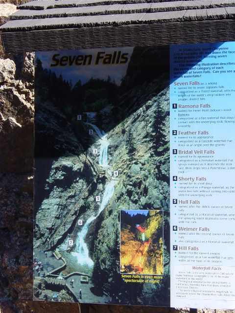
A sign describing Seven Falls (image 13)

View of the valley looking away from Seven Falls (image 14)
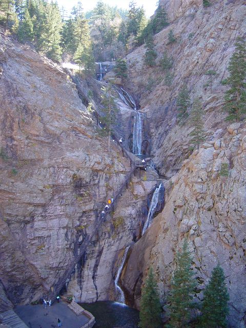
Seven Falls and the stairs (image 15)
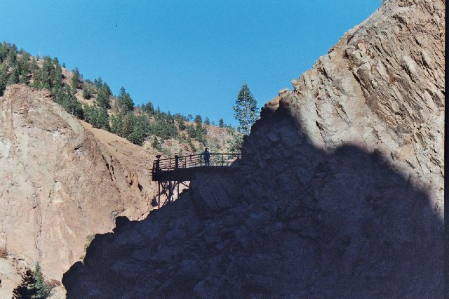
Julie at the first landing of the Seven Falls stairs (image 16)
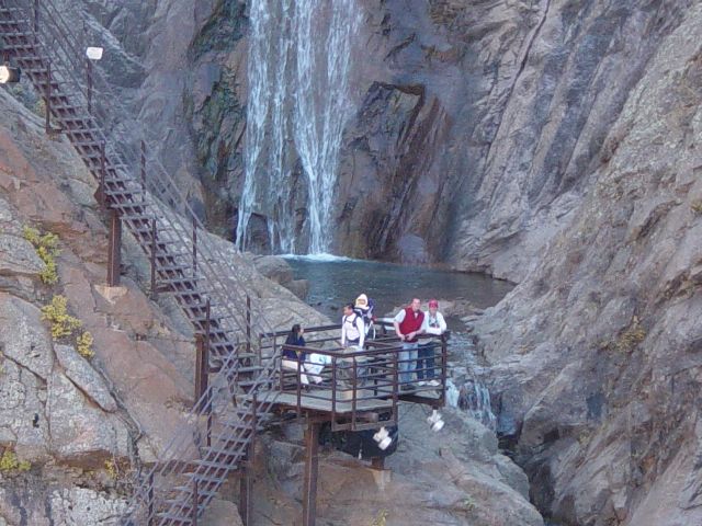
James and Eric catch their breaths (image 17)
The creek at the top of Seven Falls (image 18)
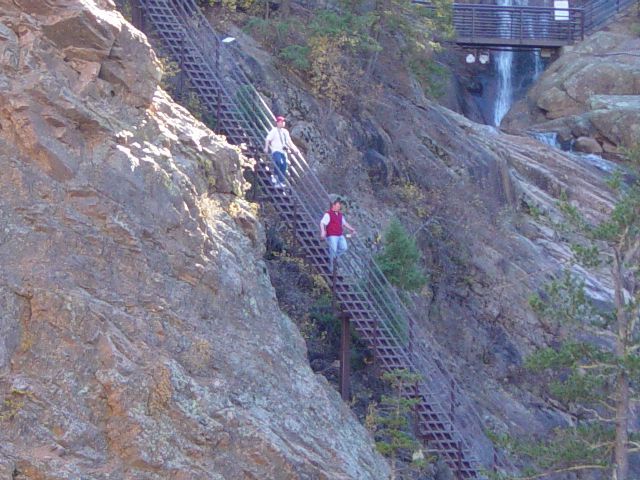
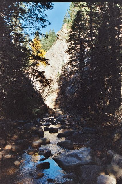
James and Eric climbing down the stairs (image 19)
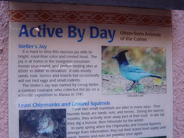
Apparently the bird from Sunday was a Steller's Jay (image 20)
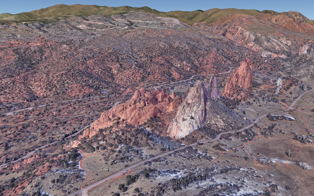
Google Earth image of Garden of the Gods (image 21)
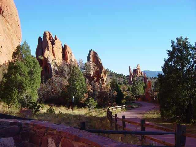
Smaller rock formations at Garden of the Gods (image 22)
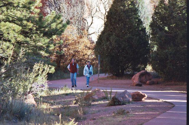
Eric and Julie walking one of the paths at Garden of the Gods (image 23)
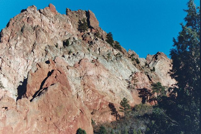
Craggy rock formations at Garden of the Gods (image 24)
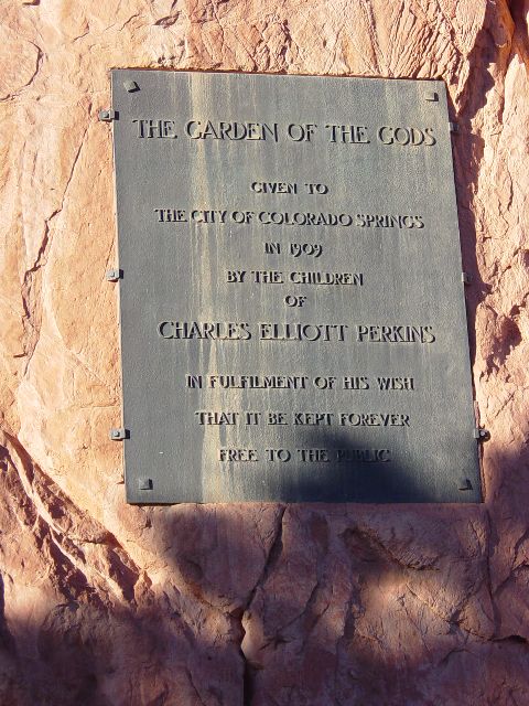
Plaque commemorating donation of land where Garden of the Gods sits (image 25)
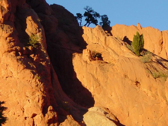
Shadows on the formations as sun starts to set (image 26)
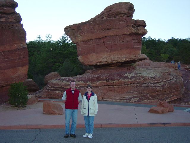
Eric and Julie near Balanced Rock (image 27)
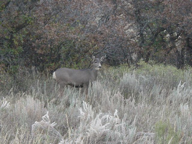
Deer standing in tall grass at dusk near the road (image 28)
Previous Next
Tuesday, 10/25/2005 – Hanging out in Denver
Since we had been out later on Monday than Sunday, we slept later on Tuesday than Monday. We left Eric's place (image 1) about 10a and went across the street to Monkey Bean Cafe and Bistro (image 2) for a bit of breakfast. (We'd like to thank Monkey Bean for their wireless network which allowed us to get internet access on our laptop from Eric's loft.) After breakfast, Eric took us up to the roof of his building to show us a view of the city (image 3) and where they would watch the fireworks at Coors Field.
We then headed back to City Park and the Science Center. We saw lots of exhibits including "Grossology - the Impolite Science of the Human Body" where we found all kinds of facts about anatomy and gastronomy that we really didn't want to know. There were lots of exhibits about the wildlife native to Colorado; these included interactive elements where you could learn more about the sensory inputs of different animals (image 4). On top of the center is a patio where you can get a breathtaking view of downtown (image 5) with the mountains in the background (when it is clear and not hazy).
After the Science Center, we headed back to Eric's place for a relaxing hour of cards. We decided to walk to the 16th Street Mall for some souvenir shopping before dinner. James wanted to get some Colorado Avalanche stuff. We ate dinner on the mall and then walked to the Pepsi Center; Eric was able to get us tickets to a hockey game. Those of you who may not be aware of it, James was a BIG Colorado Avalanche Hockey Fan (image 6). We actually planned our trip after the NHL announced the season schedule so we would be in the area for a home game. James took lots of pictures (image 7); the tickets were in one corner 2 rows above the opening where the Zambonis were stored (image 8). The Avs won 5-3 scoring two goals in the last 60 seconds of the 3rd period; it was really exciting (image 9). After the game we walked 25 minutes back to Eric's Loft where we watched some TV and then headed to bed.
Eric standing outside his condo building (image 1)
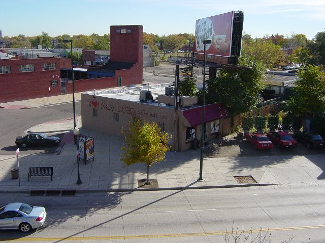
Monkey Bean Cafe from Eric's building (image 2)

Panoramic view of Denver skyline from roof (image 3)
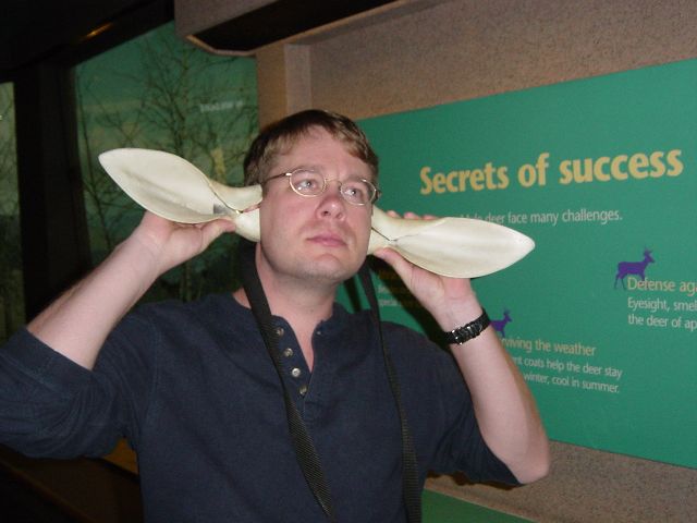
James testing his hearing with antelope ears (image 4)

Panoramic view of City Park and downtown Denver (image 5)
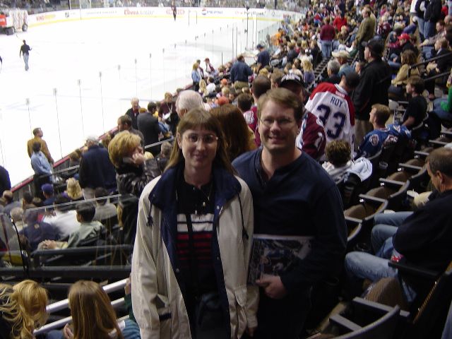
James is far more excited than Julie to be at a hockey game (image 6)
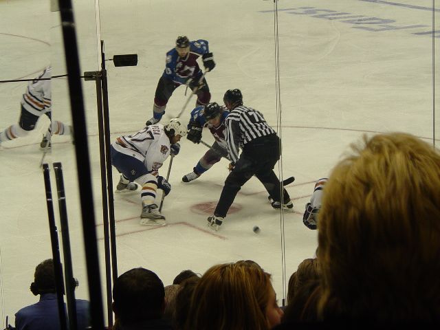
A faceoff at the corner closet to our seats (image 7)
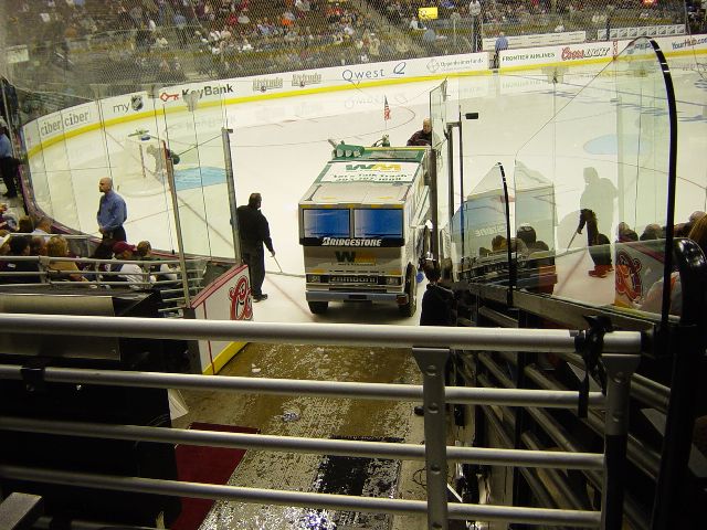
The Zamboni is heading back home (image 8)
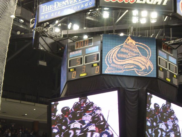
And the final score is 5 to 3 in favor of the home team (image 9)
Previous Next
Wednesday, 10/26/2005 – Heading home to Orlando
Eric had to go into work Wednesday morning so we got up a little early to let him use the bathroom. We puttered around and got our stuff organized for the trip home while he was out.
When Eric got back, we headed to the airport stopping for lunch along the way. We had a direct flight so there wasn't much excitement on the way; we watched a movie on the laptop to pass the time. We got home about 10:00 pm. We took care of a couple of quick items before going to bed.
We greatly enjoyed our trip and getting to see Eric. We hope he's able to visit us soon.


